Aamchi Mumbai: An Aerial Perspective
See Mumbai like never before. From the iconic Gateway of India to the hidden lanes of Dadar, I capture the city's scale, architecture, and daily pulse from the sky.
A sweeping drone shot revealing the iconic Taj Mahal Palace hotel and the Gateway of India, with boats dotting the Arabian Sea. This is the kind of Mumbai aerial videography I specialize in.
This aerial photograph captures the historic Rajabai Clock Tower nestled amongst the lush greenery and surrounding heritage buildings of South Mumbai, with the sea in the distance.
A clear aerial shot of the Mata Ramabai Ambedkar Smruti Viewing Deck at Dadar Chowpatty, showing its connection to the shore and the surrounding urban environment.
A wide drone shot of the Dadar coastline, capturing the viewing deck, the sea, and the expansive Mumbai skyline under a dramatic, sunlit sky.
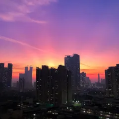
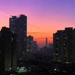
This high-altitude view shows the curve of Marine Drive, the railway tracks, and a sports ground, painting a complete picture of urban life along the coast.
An aerial view over Malad, starkly showing the contrast between the dense, blue-roofed slums and the modern high-rise apartments, with green hills in the background.
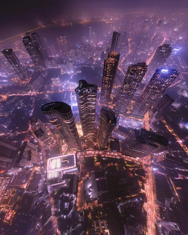
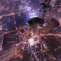
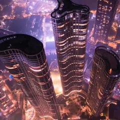
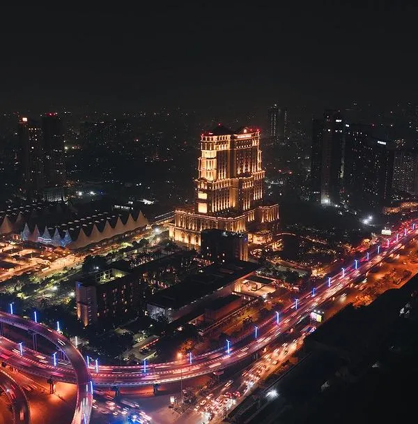
A drone's eye view of a circular building under construction in Dadar, surrounded by the dense urban fabric of the city, showcasing ongoing development.
About Aamchi Mumbai: An Aerial Perspective
I use a hybrid workflow, combining high-resolution drone footage with crisp ground-level shots to tell a complete story. Whether you need aerial marketing assets for a property or cinematic reels of our city’s landmarks, my setup is optimized for social media with 4K clarity and vibrant, pre-graded colors ready to post.
Aerial photography changes how we perceive space. Ground-level shots show us what is in front of us, but a drone reveal shows us how a building sits in its environment, how the coastline curves against the urban sprawl, and the sheer density of a place like Malad or Dadar. As a DGCA certified drone pilot, I bring that top-down perspective to professional projects, ensuring safety and compliance while getting the angles that matter.
My work often centers on the 'modern-heritage jugalbandi'—the interplay between our colonial-era architecture, like the Rajabai Clock Tower, and the glass-and-steel high-rises that define modern Mumbai. This dual perspective is essential for real estate documentation, architectural showcases, and tourism promotion.
Why Choose Aerial Documentation?
- Scale and Context: See how a project fits within the Mumbai Metropolitan Area.
- Production Quality: I provide a mix of 4K drone footage and high-res stills using a hybrid iPhone and DJI drone setup.
- Turnaround: I understand the pace of this city. You get your assets back in 48 to 72 hours, perfectly formatted for Instagram and web usage.
Whether you are documenting the construction of a new landmark, promoting a heritage property, or creating a cinematic visual library for a brand, I focus on the 'vibe' of the location. I don't just fly; I chase the stories hidden in the city's layout.
Similar work from other experts
Browse through Curated picks from other experts on mytribe
 7
7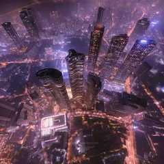
Mumbai from the Sky: Cinematic Aerial Photography
Urban Pulse: City Aerial Cinematography
 4
4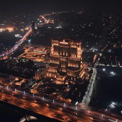
Cinematic City Skyline Aerial Photography
 78
78
Mumbai Skyline Photography: Day to Dusk Aerials
Aerial Drone Photography and Videography in Bengaluru
Cinematic Drone Photography and Aerial Cinematography
Looking for a specific Mumbai view?
Find drone services across different neighborhoods or project types.
More from Travel & Heritage Content Creation by Photokablega
More services by Photokablega