Professional Architectural and Project Documentation
Professional aerial and ground-level documentation for construction, real estate, and commercial infrastructure projects across Mumbai.
A wider aerial perspective of the construction site, showing its location within the surrounding neighborhood. This contextual drone shot is valuable for real estate marketing and urban planning documentation.
An angled drone shot capturing the construction progress from a different viewpoint. We provide multiple angles to give a complete picture of the site's development and surrounding infrastructure.
This aerial view focuses on the formwork and rebar layout of the construction project. Our high-resolution drone images provide technical details crucial for engineering and architectural review.
Another perspective of the urban construction site, highlighting its proximity to adjacent buildings and traffic flow. This helps in logistics planning and creating marketing materials that showcase the location.
A shot of an Air India aircraft on the tarmac, taken as part of a commercial project for Adani Airports. This image documents airport operations and the scale of activity at a major international hub.
About Architectural & Project Documentation
We operate with full awareness of Mumbai's regulated flight zones and airport vicinity constraints, ensuring all drone operations remain compliant. We prioritize high-resolution clarity, delivering HDR images and 4K video that engineering teams and investors can actually use for progress tracking and site audits.
Precision Documentation for Your Project
When you are running a construction site or managing a commercial property in Mumbai, generic photography is not enough. You need visuals that communicate engineering progress, safety compliance, and site scale to stakeholders and investors.
Our Technical Approach
We use a mix of 4K drone videography and wide-angle ground photography to cover every angle:
- Aerial Insight: Capturing elevations, site surroundings, and layout efficiency. This is essential for progress reports and site planning.
- Linear-Corrected Interior Shots: We use specialized lenses for construction floor plates, lobbies, and sample flats to ensure straight lines and accurate spatial representation.
- Compliance First: Whether shooting near Navi Mumbai construction zones or airport vicinities, our pilots are experienced in operating within regulated zones.
Why Clients Choose Us
From Adani Airports to local residential developers, we deliver content designed for brochures, investor decks, and site audits. We understand that time is money in Mumbai. We provide rapid turnaround on HDR images and walkthrough videos, so your team has the data they need to keep decisions moving. We do not just shoot; we document the project's journey from foundation to finish.
Similar work from other experts
Browse through Curated picks from other experts on mytribe
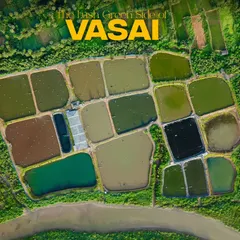
Cinematic Aerial Drone Filmmaking in Mumbai
 4
4
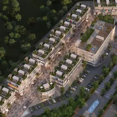
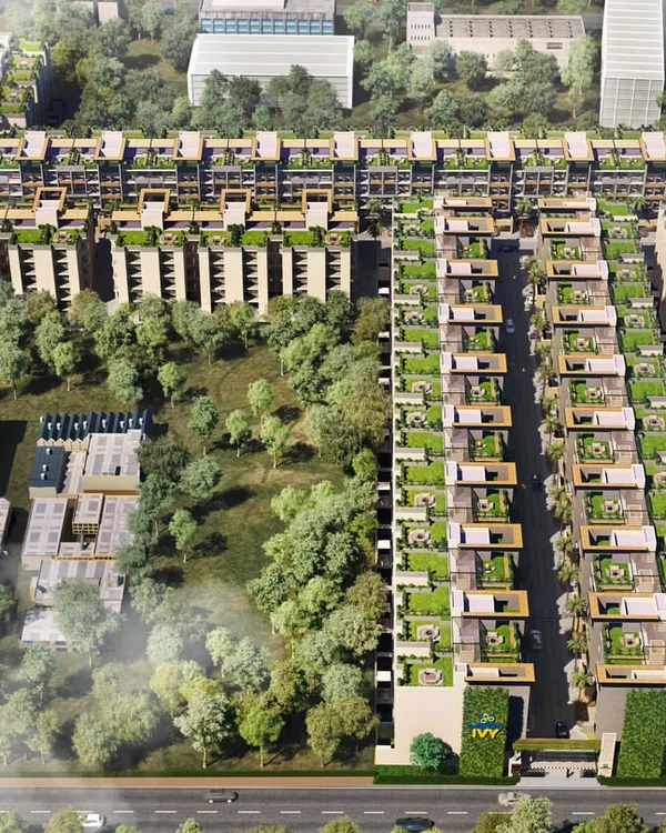
Masterplan & Aerial Flythrough Visualizations
Cinematic FPV Drone Filming
 6
6

Commercial & Architectural Photography in Mumbai
 6
6

Aerial & Drone Perspectives for Cinematic Storytelling
More from Corporate & Commercial Photography & Videography by Maestro
More services by Maestro