Masterplan & Aerial Flythrough Visualizations
We create expansive 3D aerial views that translate complex site plans into clear, photorealistic visual stories for your stakeholders.
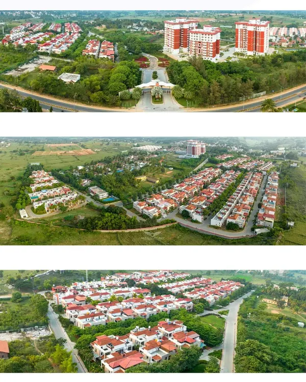
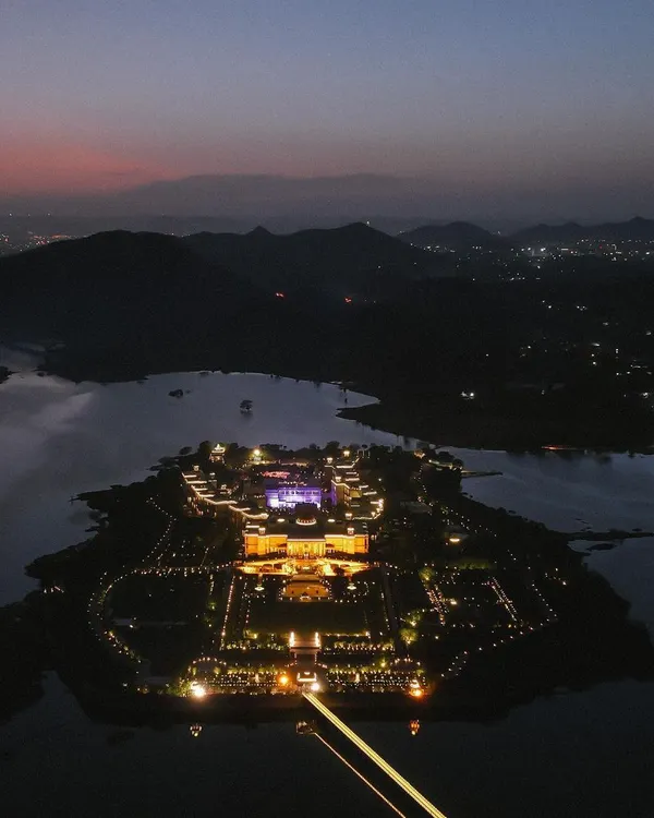
We use 3D aerial views to communicate the vision for large-scale projects, showing the entire complex in its environment. This rendering is crucial for master planning presentations, demonstrating how different elements of a development connect and coexist.
This aerial visualization demonstrates how we integrate new developments with their surrounding environment. The flythrough perspective is designed to show the relationship between the buildings, access roads, and the natural landscape for a holistic project overview.
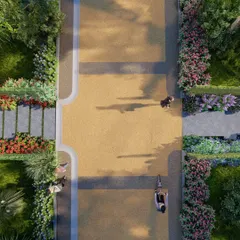
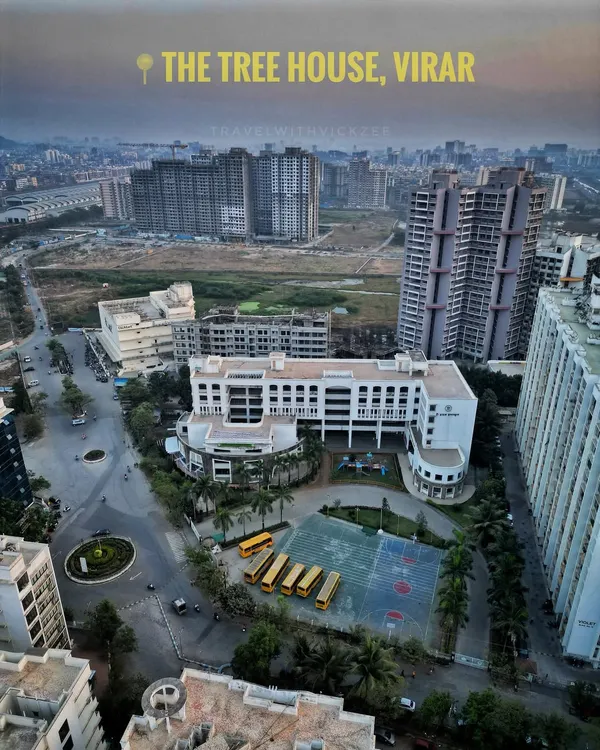
This is a top-down aerial rendering of a mixed-use commercial development. This perspective is invaluable for urban planning and traffic flow analysis, showing how pedestrian zones, retail blocks, and roadways interact within a masterplan.
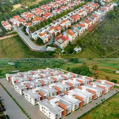
For exceptionally large projects like this golf course community, our masterplan animations can render vast landscapes and numerous structures. We ensure every detail is captured to provide a complete and accurate visualization of the entire development area.
About Masterplan & Aerial Flythroughs
When modeling large-scale masterplans, we prioritize site context over pure aesthetics. We layer in immediate road networks, traffic flow, and adjacent building footprints to show exactly how your development fits into the neighborhood. This approach ensures you are presenting a grounded, realistic vision to your investors or planning committees rather than just a concept drawing.
Our workflow for masterplan visualization is built on technical precision and geometric accuracy. We start by importing your CAD or architectural site plans to establish a base layer. Using 3ds Max, we construct the terrain and all structures within the complex. To provide a true-to-life sense of scale, we model 'ghost' structures for neighboring buildings and incorporate environmental factors like existing vegetation, roads, and pavements.
We utilize V-Ray and Corona Renderer to manage lighting conditions, simulating natural daylight or twilight scenarios depending on your presentation needs. For massive sites, such as golf course communities or mixed-use retail hubs, our process includes procedural generation for landscaping, ensuring the green spaces feel integrated and dense. We also add dynamic elements like moving traffic and low-poly people to demonstrate scale and activity. This comprehensive visualization allows architects and developers to identify potential site bottlenecks, visualize pedestrian pathways, and pitch complex projects with clarity before construction begins.
Similar work from other experts
Browse through Curated picks from other experts on mytribe
 8
8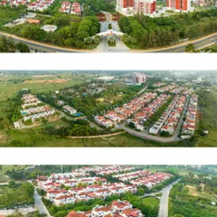

Residential Real Estate Aerial Photography
Conceptual Landscape Designs & 3D Visualizations in Bangalore
Immersive FPV Real Estate & Architectural Tours
 15
15
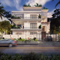
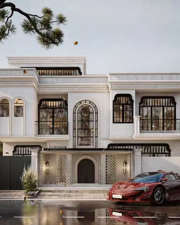
Photorealistic Exterior Architectural Renderings
 4
4
Professional Aerial Real Estate and Construction Surveys in Mumbai
 9
9
Aerial Videography for Luxury Hotels & Resorts
More from Architectural Animation by Avenir Design Studio
More services by Avenir Design Studio