Community & Layout Planning Services
We turn empty land into structured, livable spaces. From initial site soil testing to 3D road and green corridor design, we handle the infrastructure so your project starts on solid ground.
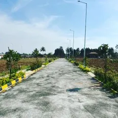
This 3D render shows a perspective view of a planned community road with a central green median. This visualization helps in planning the flow and aesthetics of the entire layout.
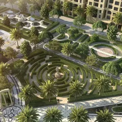
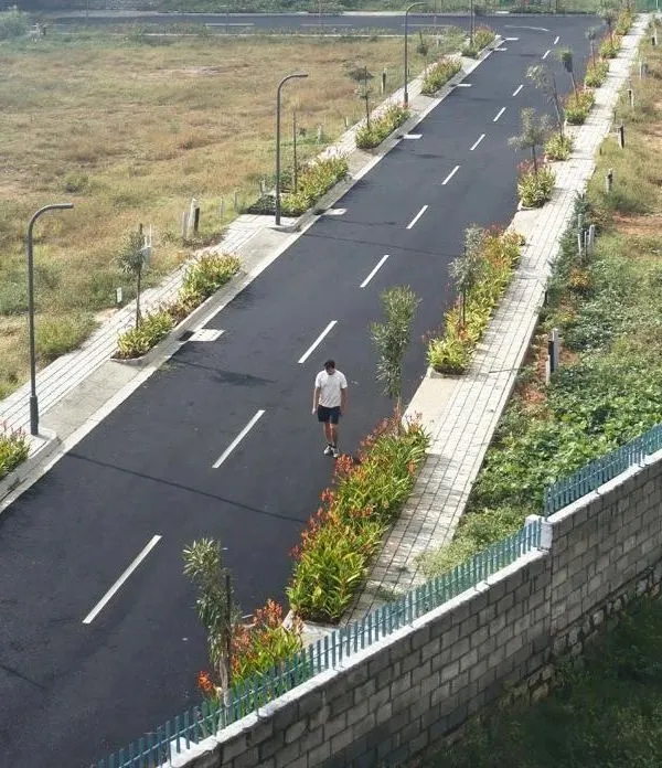
An aerial top-down view from our 3D design for a layout in Dodbalapur. This angle is crucial for planning the precise placement of roads, planters, streetlights, and pedestrian walkways.
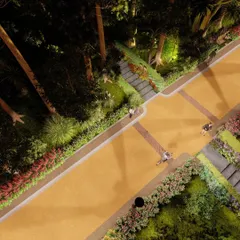
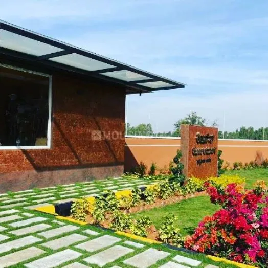
A street-level visualization for a layout development project. We use these renders to show clients how elements like palm trees, roadside hedges, and pavement will look upon completion.
This top-down render demonstrates how we plan for vehicle access and green corridors within a new development. The design ensures a balance between infrastructure and natural elements.
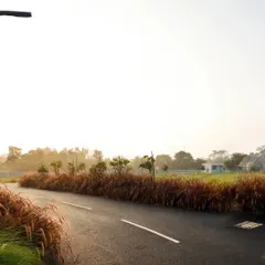
Every large-scale project begins with a thorough site visit. Here we are at the Doddaballapur site, assessing the terrain and existing conditions to inform our layout design.
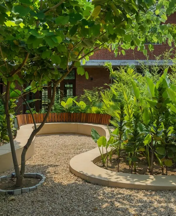
This render focuses on the details of roadside landscaping, including modern, raised planters. These elements add visual interest and greenery to the community's streets.
A duplicate of image 7, this render shows the proposed design for concrete planters along the roadway, helping to create a green and organized environment.
A duplicate of image 5, this 3D visualization presents the planned road layout, showcasing the alignment of trees and sidewalks for a clean and inviting streetscape.
A duplicate of image 10, this aerial render provides a clear overview of the road network and green spaces, essential for effective master planning.
A duplicate of image 8, this top-down view is part of our design presentation, illustrating the symmetrical and organized layout of the planned development.
About Community & Layout Planning
Before we even open our 3D software, we walk the land. We study the natural slope, soil composition, and drainage patterns because a beautiful community is useless if it doesn't handle the monsoon properly. We design the roads and green medians to flow with your land's contours, ensuring the infrastructure stays solid for years.
Planning for Longevity, Not Just Looks
A layout is more than just drawing roads on a map. When we take on a community development project, our goal is to build something that lasts. We treat your land as the foundation of the community's future, which is why our process starts with an honest assessment of what the ground can actually support.
Our Approach to Development
- Site Analysis: We don't rely on generic maps. We visit the site to check soil quality, natural water runoff, and existing vegetation. If the land needs leveling or special drainage to prevent flooding, we tell you early.
- 3D Visualization: We create accurate renders so you can see the flow of the roads, the placement of green medians, and how pedestrian walkways connect with the overall project.
- Infrastructure Focus: We prioritize roads that don't crack after one season and drainage that actually works. We avoid the 'chalta hai' approach where shortcuts are taken on materials or grading.
Whether you are a developer planning a new residential layout in Bengaluru or Hyderabad, or a landowner looking to structure a farmhouse community, we focus on balancing buildable space with the natural environment. We believe in providing quality that adds value to your plot, making it a place people actually want to build on.
Similar work from other experts
Browse through Curated picks from other experts on mytribe
 8
8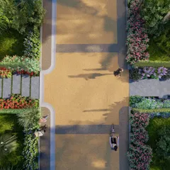
Landscape Design, 3D Visualization, and Concept Planning
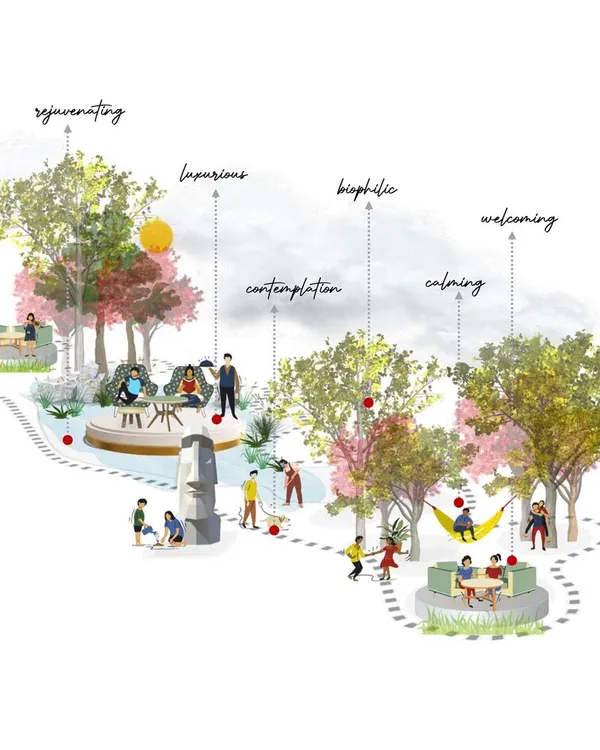
Holistic Community Masterplanning for Integrated Spaces
 9
9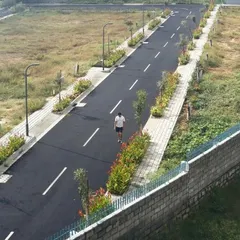

Residential Layout Planning & Streetscape Design
 22
22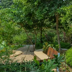
Thoughtful Landscape and Urban Design for Modern Spaces
 14
14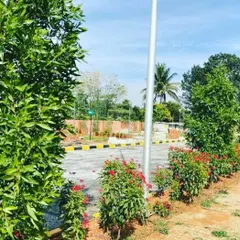

Large-Scale & Commercial Landscape Design
 26
26
Urban Master Planning & Community Hubs
Need help with a different project?
Explore our other landscaping and construction services.
More from Landscape Design by Aranyam Landscape
More services by Aranyam Landscape