Aerial Mumbai Cityscapes & Landmark Photography
See Mumbai from a new perspective. I use 4K drone footage to capture the city’s heritage sites and modern skyline from the sky.
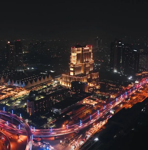
A definitive aerial portrait of the BMC building in South Mumbai. The symmetrical composition highlights its architectural grandeur, making it a perfect shot for showcasing the city's heritage.
This video pans from the iconic Taj Mahal Palace Hotel to the Gateway of India and the bustling harbor. It's a classic Mumbai view, elevated by a dynamic aerial perspective that captures the relationship between these landmarks.
The Rajabai Clock Tower, modeled on London's Big Ben, is captured here rising above the lush greenery of the university campus. This aerial shot provides a unique context, showing the colonial-era landmark against the modern city skyline.
A sweeping view of Marine Drive, with the railway tracks, a sports ground, and the city's dense residential buildings all in one frame. This image captures the multi-layered life of Mumbai along its famous coastline.
The Dadar Chowpatty viewing deck juts out into the Arabian Sea, offering a stunning vantage point of the city. This aerial shot captures the structure itself and the panoramic view it provides of the Mumbai skyline.
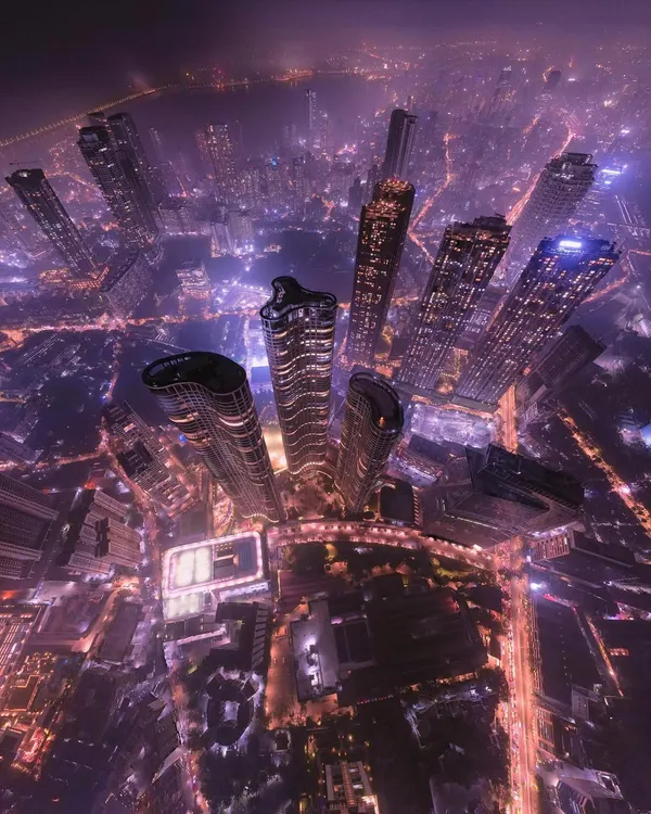
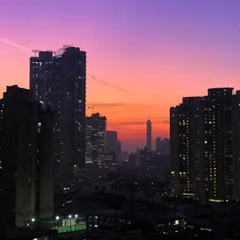
A hazy morning view of the Mumbai skyline from across the water. This shot captures the atmospheric conditions of the city, with the silhouettes of skyscrapers creating a moody and evocative cityscape.
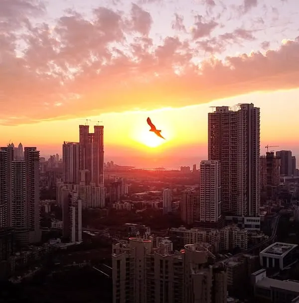
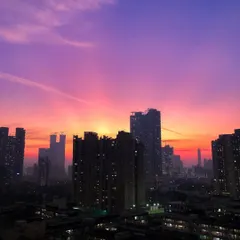
This image captures the stark contrast between high-rise apartments and low-lying slums under a dramatic sunset sky. It's a visual narrative of the economic diversity that defines Mumbai's urban landscape.
An aerial view over Malad, showcasing the dense network of slum dwellings with blue tarpaulin roofs, set against modern high-rises and the green hills in the background. This is another powerful example of Mumbai's contrasting sides.
A telephoto drone shot focusing on Mumbai's iconic Twin Towers. This perspective isolates the buildings, emphasizing their unique architecture against a clear blue sky, perfect for architectural showcases.
A similar view of the Twin Towers, this time including a neighboring building under construction. This shot is useful for documenting urban development and the ever-changing nature of the city's skyline.
About Mumbai Cityscapes & Landmarks
Shooting from the air reveals patterns you cannot see from the ground, like the intricate symmetry of the BMC building or the way Marine Drive curves against the Arabian Sea. Whether you need a fresh angle for a property portfolio or cinematic footage of the city skyline, the drone captures the full context of a location without the obstruction of ground-level traffic or barriers.
When I fly over Mumbai, I am not just looking for a pretty picture. I am looking for the geometry of the city—the way the Rajabai Clock Tower rises above the campus greenery or how the Twin Towers stand against the harbor. Ground-level photos are great, but they often miss the connection between the street and the sea.
I use professional DJI drone gear to capture 4K footage that makes the city look sharp. If you are documenting a property for a real estate brochure, aerial shots provide the context that buyers actually want to see, such as proximity to the sea, neighborhood density, and main road access.
For creative projects, I focus on the 'big picture' movements. I have handled flights over complex environments like the Queen’s Necklace at night, where lighting and stability are critical. Everything I do is within DGCA regulations. I operate within legal zones and keep flight plans compliant, so you do not have to worry about the logistics. Whether you need a quick site survey in Malad or a promotional reel showcasing a project in South Bombay, the aerial view adds a layer of depth that completely changes how people perceive a location.
Similar work from other experts
Browse through Curated picks from other experts on mytribe
 7
7
Mumbai from the Sky: Cinematic Aerial Photography
 4
4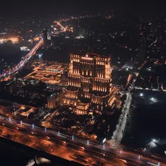
Cinematic City Skyline Aerial Photography
Urban Pulse: City Aerial Cinematography
Aerial Drone Photography and Videography in Bengaluru

Cinematic Aerial Drone Filmmaking in Mumbai
 78
78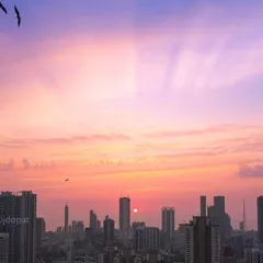
Mumbai Skyline Photography: Day to Dusk Aerials
Find the right aerial shot for your project.
Explore other perspectives or specific locations in Mumbai.
More from Aerial Photography & Videography by Photokablega
More services by Photokablega