Construction and Development Site Drone Monitoring
I provide precise aerial documentation for construction projects, delivering high-resolution visual updates for developers, architects, and site stakeholders.
Construction site monitoring is a key service I offer. This clip shows my DJI drone in action, providing a clear aerial view of the excavation phase, which is crucial for progress tracking and stakeholder reports.
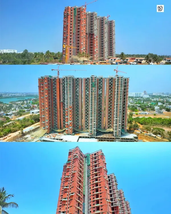
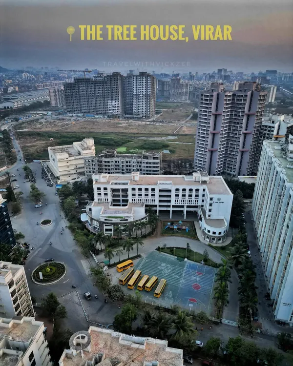
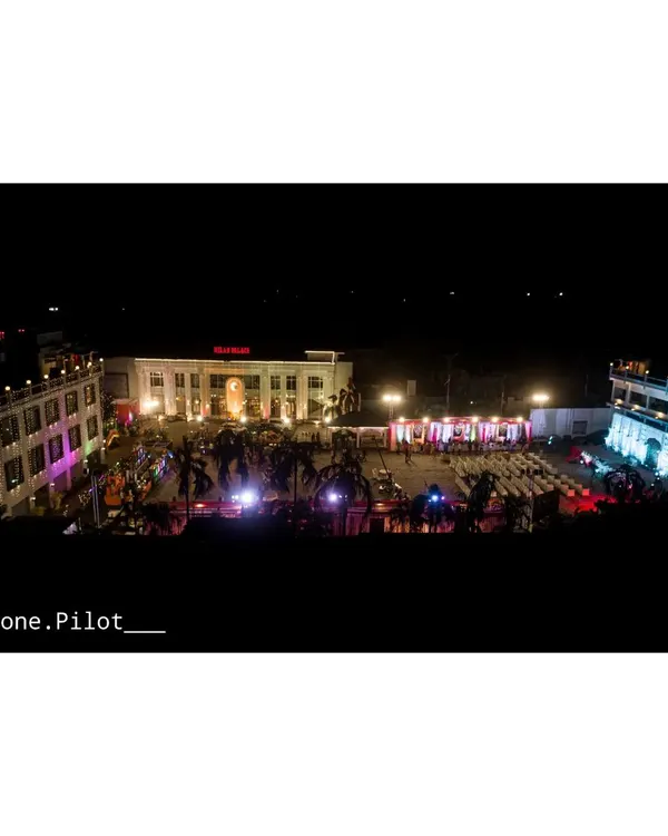
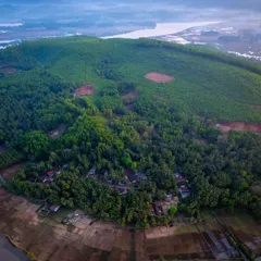
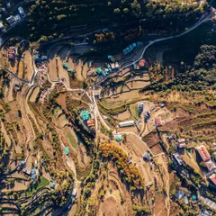
This footage captures a developing area, showing newly constructed buildings alongside existing residential neighborhoods. This type of aerial survey is useful for urban planning and real estate development analysis.
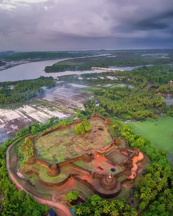
An aerial survey of a large-scale development site. The top-down perspective provides a clear overview of the entire project, including multiple building sites, access roads, and surrounding land.
On the job at the Noida International Airport construction site. Being properly equipped with safety gear is part of my professional process for large-scale infrastructure projects.
About Construction & Development Monitoring
When I shoot at a construction site, I prioritize safety. I conduct a pre-flight hazard assessment to navigate around cranes, wires, and heavy machinery, ensuring the footage is stable and precise even while the site is fully active.
Construction monitoring requires more than just a nice view. It demands consistency and technical accuracy. I use my DJI Air 3 and Phantom 4 Pro to create replicable flight paths, allowing you to compare site progress before and after specific milestones. This helps project managers and investors visualize development in ways that ground-level photos simply cannot capture.
Why Aerial Monitoring Matters
- Progress Tracking: I document every stage of development, from initial excavation to the final structure.
- Vertical Inspection: I fly alongside facades to help you spot structural details or finish quality in high-rise buildings without the need for manual inspection equipment.
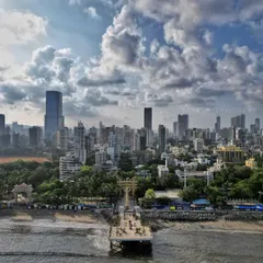
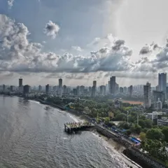
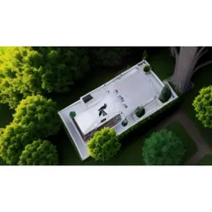
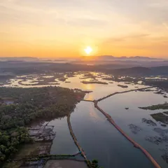
- Site Context: My 360-degree 'tiny planet' panoramas give you a full overview of the site perimeter, access roads, and neighboring infrastructure, which is essential for urban planning analysis.
- Safety & Compliance: I am experienced in flying around active sites like the Noida International Airport, ensuring all work respects safety zones and active project constraints.
Whether you are a developer in Delhi or managing a site in a remote location, I bring professional-grade equipment to get the job done. I deliver both high-res images for reporting and raw 4K video for your technical teams to review.
Similar work from other experts
Browse through Curated picks from other experts on mytribe
 11
11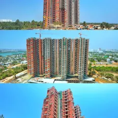
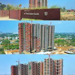
Construction Progress Monitoring with Drone Photography
 4
4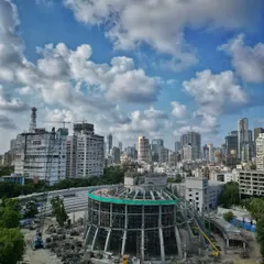
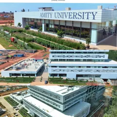
Professional Aerial Real Estate and Construction Surveys in Mumbai
 4
4
Aerial Real Estate & Property Drone Photography
 63
63
Aerial Drone Photography for Landscape Projects

Aerial Architectural & Landscape Drone Photography
Immersive FPV Real Estate & Architectural Tours
More from Real Estate & Architectural Drone Videography by Santosh
More services by Santosh