The Art of the Drone: Professional Aerial Cinematography
I use my drone not just to fly, but to find stories from the sky. Whether it is tracking construction progress or capturing the symmetry of the city, I look for angles that ground cameras miss.
Here I am, operating my FPV drone in Penang, Malaysia. As a certified pilot, I ensure all my flights are conducted safely and in compliance with local regulations.
A collection of my best top-down drone shots, from the Jayanagar metro in Bangalore to paddy fields in Sringeri, showcasing a unique and symmetrical perspective.
A "What I See vs. What My Drone Sees" comparison of the Kingfisher Tower. This shows how an aerial perspective can completely transform the view of a familiar landmark.
This top-down shot of the Jayanagar metro line is one of my favorites, perfectly capturing the symmetry of the train moving through a corridor of trees.
About The Art of the Drone
Being a DGCA-certified pilot is about more than just owning high-end gear like the Mavic 3 Pro or Avata 2. It means I navigate the strict airspace regulations in Bengaluru and across Karnataka, ensuring your shoot is legal and safe. I handle the entire permission process so you do not have to worry about the logistics of flying near sensitive zones.
My aerial work goes beyond standard high-altitude shots. I specialize in specific techniques that add a cinematic layer to your visual storytelling:
- FPV (First-Person View) Flying: I use Avata 2 FPV drones for dynamic, close-proximity shots. This is perfect for touring interior spaces, flying through tunnels, or tracking fast-moving subjects.
- Top-Down Symmetry: I look for geometry in the landscape, from metro lines cutting through forests to paddy fields. It is about finding order in the chaos.
- The 'Before and After': Whether it is real estate or infrastructure, I map locations repeatedly to show progress over time. This gives you a clear visual timeline of your project's evolution.
- Technical Precision: Every flight is planned with a pre-shoot recce. I check for signal interference, map out flight paths, and consider the golden hour light to ensure the final footage needs minimal correction.
- Commercial Integrity: I provide raw 4K footage for technical tracking or color-graded masters ready for your presentations. My goal is to capture your location’s unique perspective, whether it is a corporate park or a remote heritage site.
Similar work from other experts
Browse through Curated picks from other experts on mytribe
Aerial Cinematography: Karnataka from the Sky
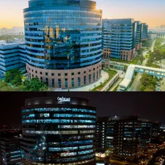
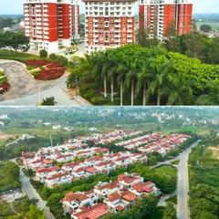
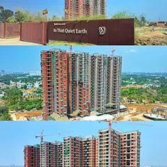
Featured Aerial Photography & Videography Projects
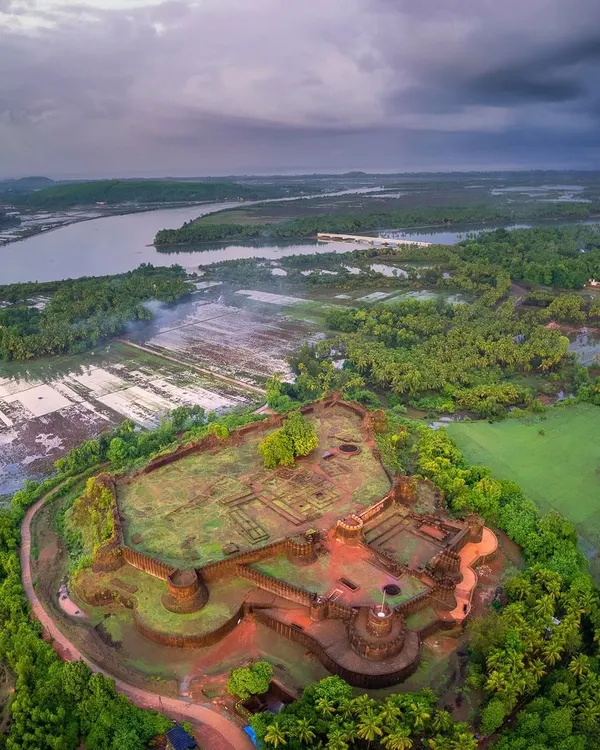
Cinematic FPV Drone Filming
 63
63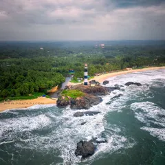
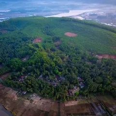
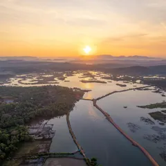
Aerial Drone Photography for Landscape Projects
 6
6
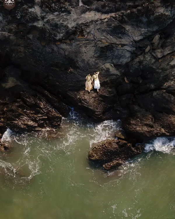
Aerial Wedding Photography and Cinematic Drone Shots
Epic Drone and Venue Shots for Your Wedding
More from Infrastructure & Development Videography by Srihari Karanth
More services by Srihari Karanth