The Art of the Drone: Cinematic Aerial Filmmaking
I don't just fly cameras; I map out the sky. From the stable precision of the Mavic 3 Pro to the immersive flight path of the Avata 2, here is how I turn high-altitude technical data into cinematic stories.
Here I am, piloting my FPV drone with goggles for a first-person view. This shows the advanced, DGCA-certified technology I use to get those immersive, dynamic fly-through shots that make my videos stand out.
A "What I See vs. What My Drone Sees" comparison featuring the Kingfisher Tower. This video dramatically illustrates the unique and powerful perspective that professional aerial videography provides over a standard ground-level view.
A mobile vs. drone zoom comparison at the magnificent Gaganachukki Falls in Shivanasamudra. The video shows how my drone's powerful zoom lens can capture stunningly detailed and close-up views that are impossible to get from the ground.
The first frame of this video shows my drone's flight interface over the Tata Promont complex. This gives a peek into the technical side of my work, showing the data and controls I manage to capture a perfect, stable shot.
About The Art of the Drone
I spend as much time planning flight paths as I do shooting. Whether it is an FPV fly-through for your office or a hyperlapse of the skyline, I use specific gear like prop-guarded cinewhoops for interiors and high-zoom optics for nature. You are not just getting footage; you are getting a flight plan that prioritizes safety and visual impact.
When you see a smooth cinematic shot, you are looking at more than a camera in the sky. You are looking at a flight plan. My kit is built for specific results. I use the DJI Mavic 3 Pro for those high-contrast, golden-hour establishing shots. Its 5.1K resolution and color depth are perfect for architectural showcases where detail is non-negotiable.
For the high-energy, immersive sequences—like flying inside a factory or weaving through structural beams—I switch to the Avata 2 FPV. I use prop guards, ensuring that I can get close to machinery or walls without any risk to your property.
Safety is not just a box to check. As a DGCA-certified pilot, I handle the flight permissions and safety spotters so you do not have to deal with the logistics. I do not believe in winging it. We identify flight paths in the pre-shoot phase, account for wind conditions, and ensure the battery life is managed for the perfect transition, whether it is a day-to-night hyperlapse or a continuous fly-through. This is the difference between a random aerial clip and a professional corporate asset.
Similar work from other experts
Browse through Curated picks from other experts on mytribe
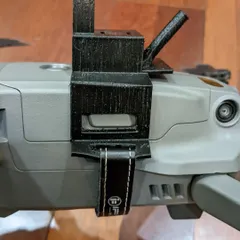
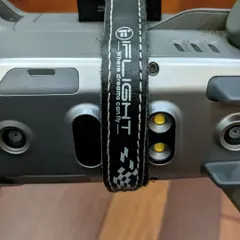
Behind the Lens: My Drone Gear and Creative Process
Cinematic FPV Drone Filming
 11
11
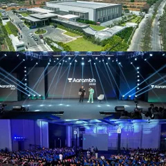
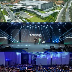
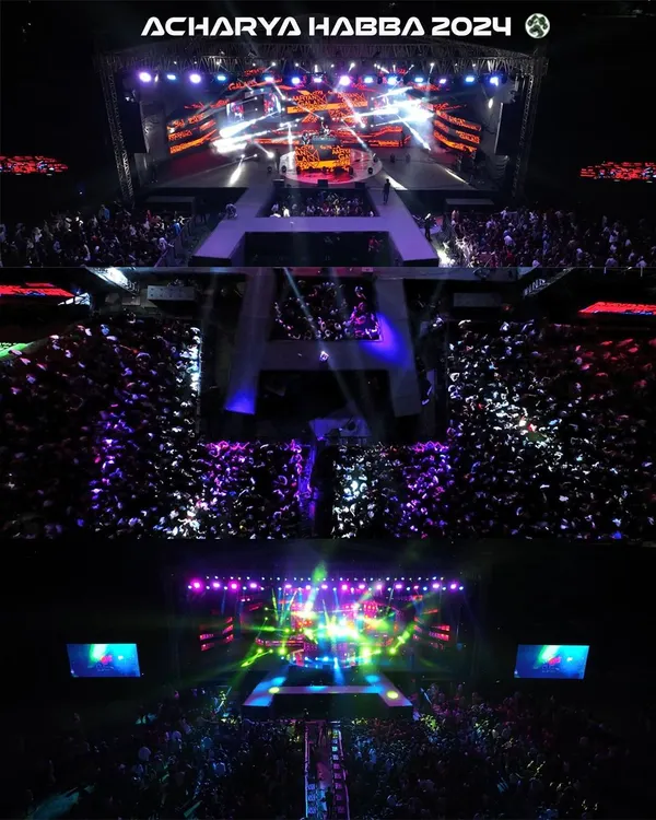
Professional Aerial Videography for Bengaluru Events
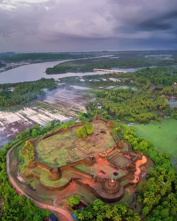 63
63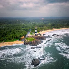
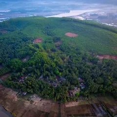

Aerial Drone Photography for Landscape Projects
Epic Drone and Venue Shots for Your Wedding
Professional Resort & Commercial Brand Videography
More from Corporate & Commercial Videography by Srihari Karanth
More services by Srihari Karanth