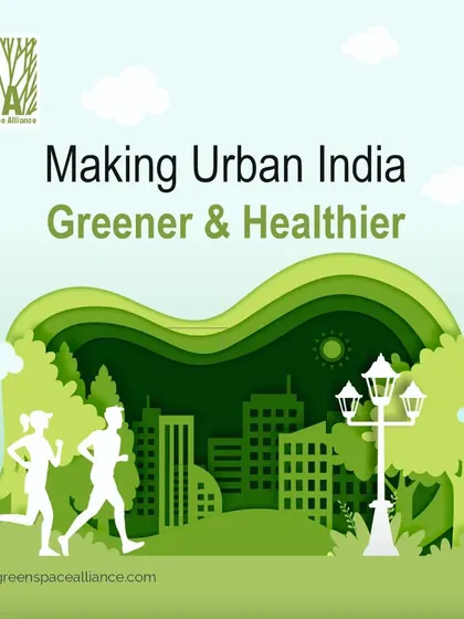
Urban Planning & Policy Advisory in Pune

We work with city authorities to plan and advise on urban policies, focusing on transit-oriented development and practical solutions for walkable, sustainable cities in India, Canada, and beyond.
Pricing Guide
ESTIMATESAbout Urban Planning & Policy Advisory
We shape urban spaces to be people-friendly, sustainable, and ready for the future. Our team is all about cities that work better for everyone - from the big picture to the details on the ground.
What We Do
- We work hands-on with city authorities and local stakeholders, actually getting into the nitty-gritty of city planning.
- Been part of policy changes and rezoning projects that make room for new ideas, whether it’s in Edmonton or cities across India.
- We’ve helped turn regular streets into "Complete Streets" - more accessible, safer, and better for pedestrians and cyclists.
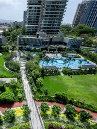
- Our projects in India and Canada have shaped thousands of acres, always keeping sustainability and inclusivity in mind.
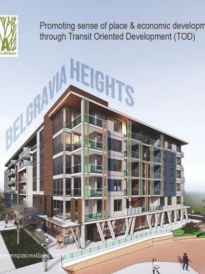
Our Speciality: Transit-Oriented Development
- We know transit-oriented development consulting is key for connected, walkable cities.
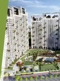
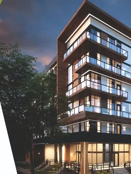
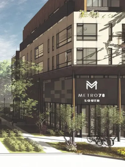
- Our work includes projects like Altairus and Metro 78 - car-free zones, subsidized transit, and loads of bike access.
- The goal? Easy public transport, thriving neighbourhoods, and better quality of life.
How We Share Knowledge
- We talk at industry events, sharing real-world lessons on urban policy framework and sustainability.
- We teach future planners at architecture colleges, focusing on what actually works in the field.
Where We Work
- Our footprint stretches from India (over 3000 acres, 20 states) to Canada, Uzbekistan, and Iraq.
- Whether it’s a high-density hub or a mixed-use master plan, we’re committed to cities that put people first.
Highlights
Browse through Green Space Alliance's best work
Meet your Expert
Green Space Alliance
My Story
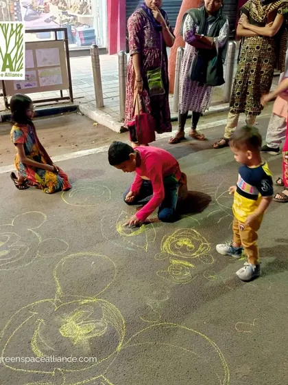
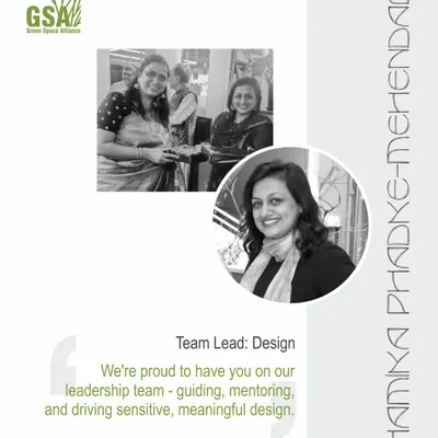
We’re Green Space Alliance, but just call us GSA. Our thing? Making cities in India livable, not just pretty on paper. We’re always bouncing ideas around, and yeah, you’ll spot us out there in the sun or rain, checking if the designs work on the ground. We love getting people involved—Pedestrian Day walks, real chats, imagining better streets. Our team’s been together for years, like Shamika, who’s been leading with heart. For us, cities are for people, simple as that.
My Work
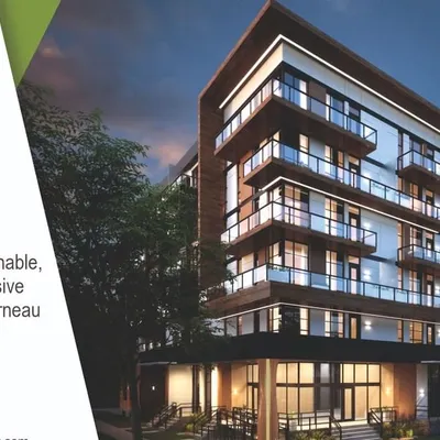
Full-Scope Design Services - We do landscape architecture, urban design, and tailored master planning across India.
No Cookie-Cutter Designs - Luxury villa, public park, affordable housing—each project gets its own unique approach.
Boosting Project Value - We mix strategy and visuals to help projects attract the right crowd and get better returns.
People-Centric Placemaking - We turn open spaces into lively, welcoming spots—courtyards, plazas, outdoor hangouts.
Eco-Friendly Focus - We push for green landscapes and adaptive green infrastructure to help cities stay healthy.